30 August 2013, 02:15
SteveGlLowveld Rhino Trust
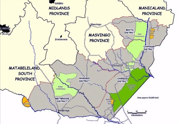
I got this map from the LRT website. Can anyone tell me what the large shaded area surrounding the conservancies represents?Are they tribal lands?
CAMPFIRE lands?
Does the LRT have any legal authority over them?
Why are they included in this map?
Thanks